 01
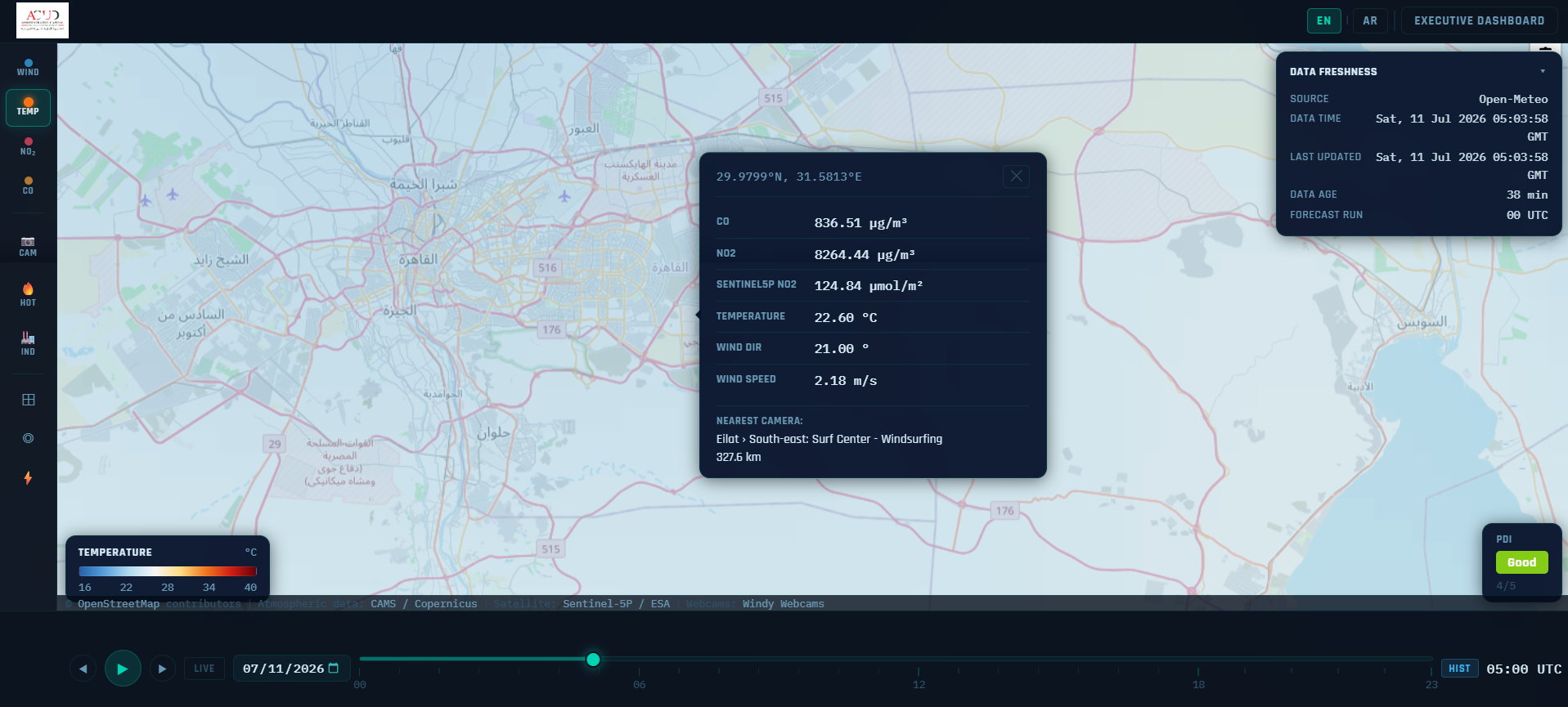
01Environmental Intelligence Platform
A government-grade environmental intelligence platform that combines live mapping, historical playback, forecasts, anomaly analysis, and alerting across the Nile–Gulf of Suez corridor.
Explore case study
Selected platforms that transform Earth observation, environmental data, and field activity into clear operational decisions.
Each project combines a clear user workflow, robust geospatial engineering, and interfaces built for daily operational use.
01A government-grade environmental intelligence platform that combines live mapping, historical playback, forecasts, anomaly analysis, and alerting across the Nile–Gulf of Suez corridor.
Explore case study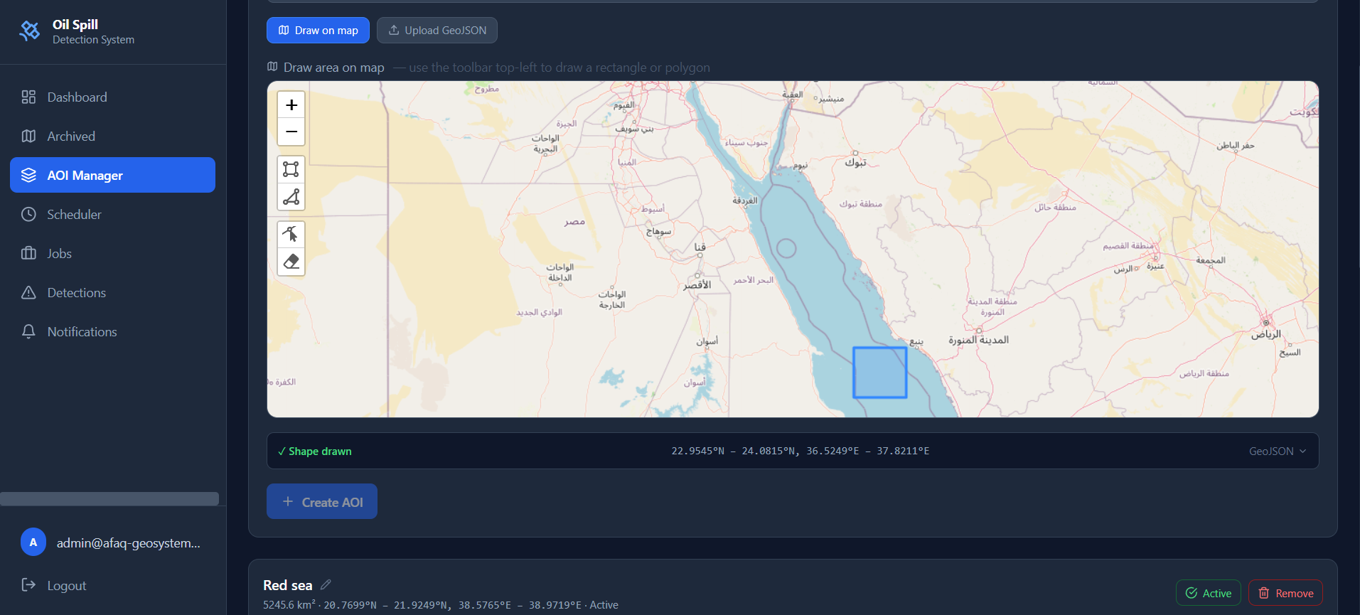 02
02An end-to-end monitoring platform that acquires Sentinel-1 SAR imagery, preprocesses it through ESA SNAP, detects oil-like dark spots, enriches results with weather, and alerts operators.
Explore case study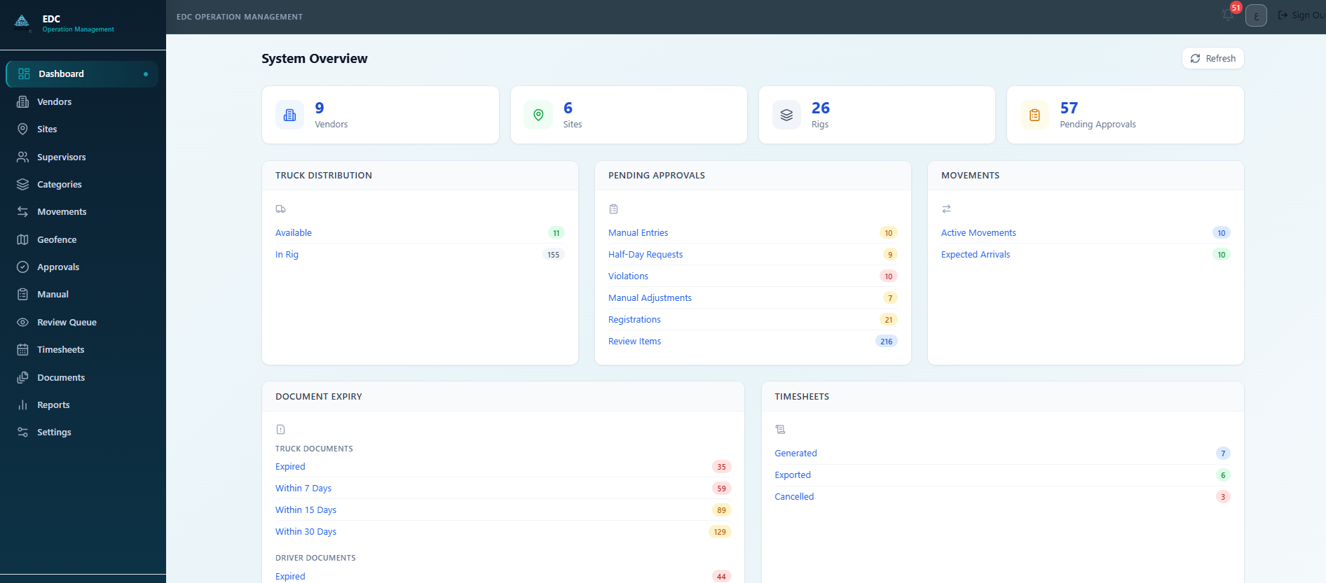 03
03A bilingual, offline-capable operations platform that replaces manual truck timesheets with geofence-validated field events, approval workflows, and locked vendor billing outputs.
Explore case study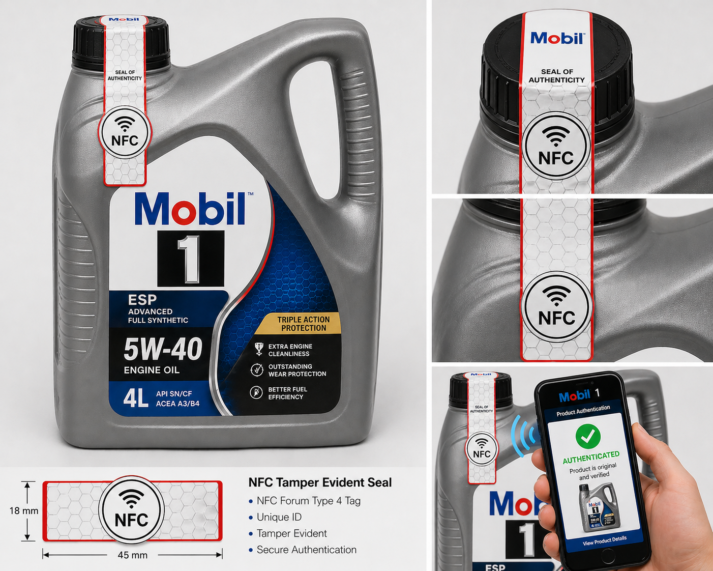 04
04A tamper-evident NFC authentication seal that lets distributors and consumers verify genuine Mobil lubricants with a single phone tap — no app, no opening the bottle, and zero disruption to production.
Explore case study 05
05A protected live-learning platform for training centers and academies that enforces enrollment-based authorization, prevents recording, and traces leaks with QR and steganographic watermarking.
Explore case studyAFAQ GeoSystems connects remote sensing, GIS, software engineering, and field workflows in cohesive products.
Satellite acquisition, SAR processing, atmospheric datasets, anomaly extraction, validation, and geospatial analysis.
Responsive maps, temporal playback, vector and raster layers, drawing tools, comparison modes, dashboards, and reports.
Role-based workflows, offline mobile operations, approval queues, alerts, audit history, scheduling, and exportable outputs.
Modern web and mobile stacks, spatial databases, asynchronous processing, containerisation, caching, monitoring, and resilience.
Every product begins with the people who will use it and the decision they need to make. Technology is selected to support accuracy, speed, resilience, and long-term maintainability.